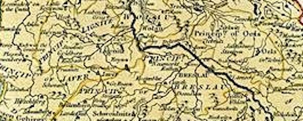
Silesia Maps
Links to Online Maps
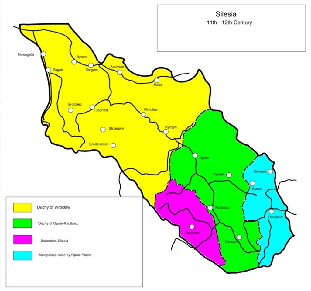
11th to 12th Century Silesia
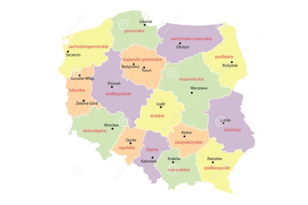
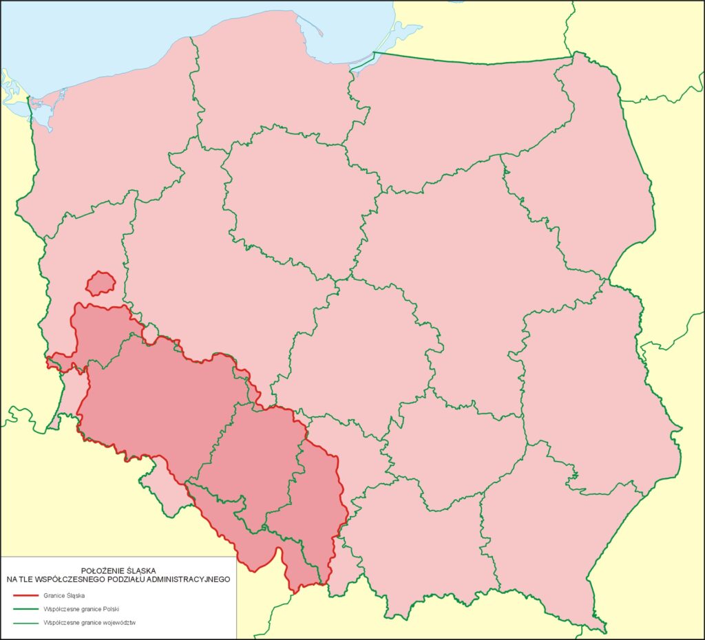
Poland Voivodeships – the Silesian ones are the lower part of Lubusz (lubuskie), Lower Silesian (dolnoślaskie), Opole (opolskie), Silesian (ślaskie) and a small part of Greater Poland (wielkopolskie)
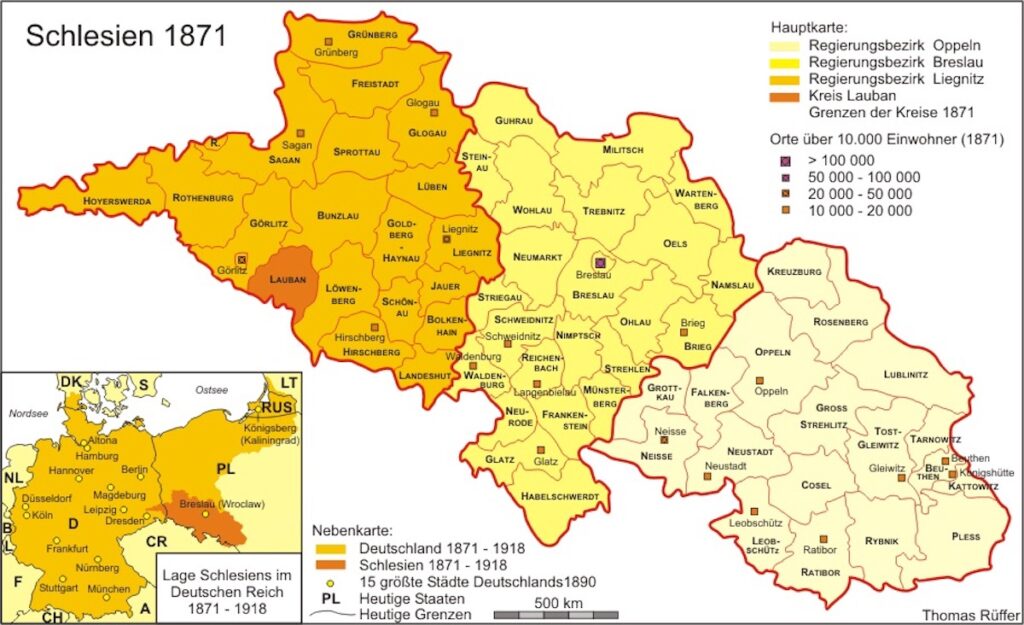
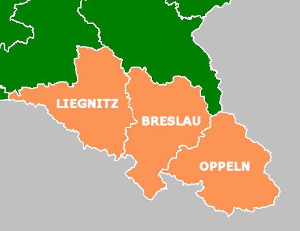
Lower and Upper Silesia in 1878
Liegnitz (Legnica) and Breslau (Wroclaw), both in Lower Silesia
Oppeln (Opole) in Upper Silesia
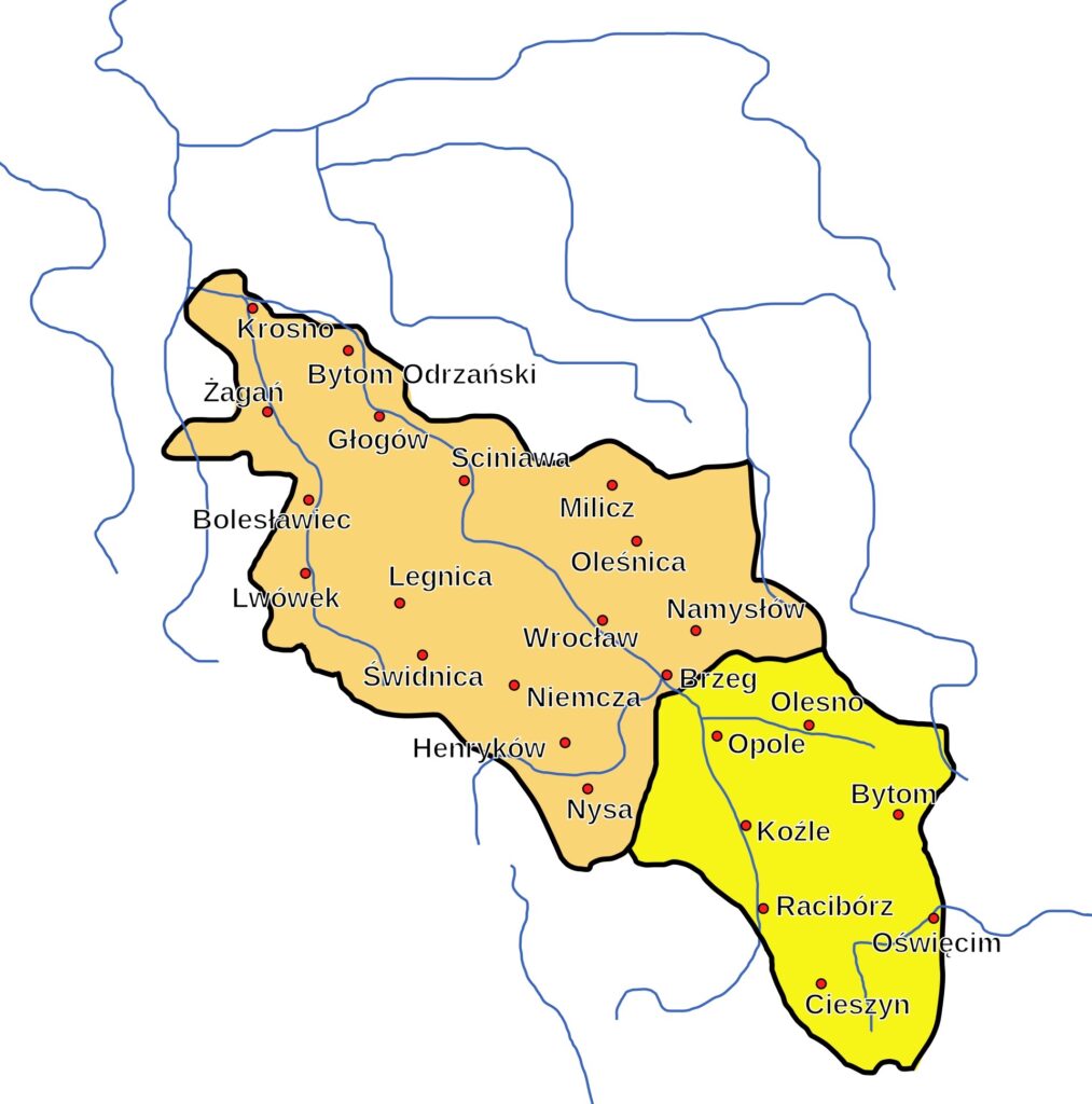
Lower and Upper Silesia
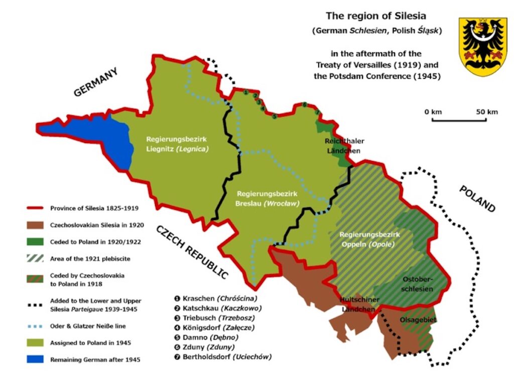
Silesia after the Potsdam Conference in 1945